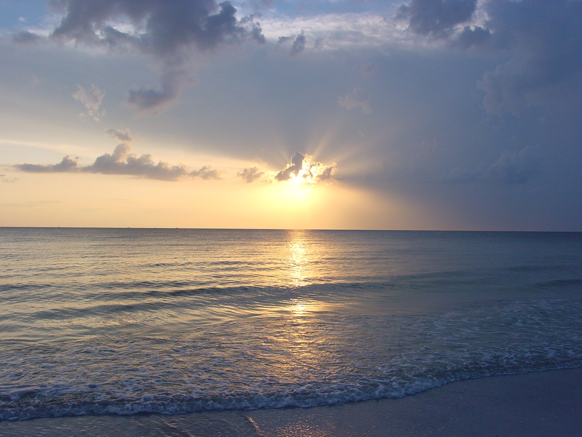
Here is the thing nobody says in the first paragraph: there is no Gulf beach in Tampa. Not one. The city sits at the top of a bay, on the wrong side of it, with a shipping channel and a peninsula between it and the open water. Every list of beaches near tampa is really a list of beaches in Pinellas and Manatee counties, half an hour to an hour away across a causeway, and the ones that pretend otherwise are why people arrive at their hotel and discover the sand is a 45-minute drive.
That is not a complaint about the beaches. The barrier islands west of Tampa hold some of the best beaches in the United States, and two of them have been named America’s number one by the people who make a living naming such things. It is a complaint about the drive times and the parking costs, which are the two things that actually determine whether a beach day works, and which almost nobody publishes accurately.
So this page does the boring, useful part. Every beach worth the trip, roughly how far it is from downtown Tampa, what parking costs where we could verify it, what the sand and water are actually like, and which one suits which kind of day. All fees checked against the county and state park operators’ own published information in September 2026.
The short answer
If you want the shortest drive from Tampa and you do not mind a bay beach rather than a Gulf one, go to Ben T. Davis Beach on the Courtney Campbell Causeway, about 20 minutes from downtown.
If you want the classic wide-white-sand Gulf beach with lifeguards, food and everything organized for you, go to Clearwater Beach and accept the crowds and the parking.
If you want the best beach in the region and you are willing to drive an hour, go to Fort De Soto Park — 1,136 acres, five islands, $6 to park, and a shaded picnic infrastructure that no beach strip can match.
If you want to feel like you have left civilization, take the ferry from Honeymoon Island to Caladesi Island, which has no road to it at all.
If you want somewhere with a bit of character and fewer high-rises, go to Pass-a-Grille at the southern tip of St. Pete Beach.
What the beaches cost
Parking is the real price of a Florida beach day, and it is where the published information is worst. These are the figures the operators themselves publish, checked in September 2026.
| Beach | Parking / entry | Operator |
|---|---|---|
| Fort De Soto Park | $6 per day | Pinellas County |
| Sand Key Park | $6 per day | Pinellas County |
| Fred Howard Park | $6 per day | Pinellas County |
| Honeymoon Island State Park | $8 per vehicle | Florida State Parks |
| Caladesi Island State Park | $6 per boat, plus the ferry fare if you take it | Florida State Parks |
| Indian Rocks Beach, Indian Shores / Tiki Gardens, Madeira Beach, Redington Shores, St. Pete Beach access lots | Charged; rate varies by location | Pinellas County beach access sites |
| Clearwater Beach, Treasure Island and other municipal lots | Charged by the city, generally the most expensive in the region | Individual municipalities |
| Ben T. Davis Beach, Cypress Point Park, Picnic Island Park | City of Tampa parks — check current arrangements | City of Tampa |
Pinellas County sells an annual boat ramp and beach parking permit, which pays for itself quickly if you are in the region for a while, and its daily fees can be paid through mobile parking apps rather than at a pay station. If you are going to be here a week and expect three or four beach days, look at it before you start feeding machines.
The headline: a day at Fort De Soto costs $6 to park. A day at Clearwater Beach can cost several times that before you have bought anything. That gap is the single most useful fact on this page.
The geography, properly
This is worth two minutes because it explains every drive time on this page.
Tampa is on the eastern shore of Tampa Bay, in Hillsborough County. Its own waterfront is bay water — warm, shallow, calm, greenish-brown, and perfectly swimmable, but not what anyone pictures.
The Gulf beaches are on a chain of barrier islands off the western edge of the Pinellas peninsula, which is a separate landmass across the bay. From north to south the chain runs roughly: Honeymoon Island, Caladesi Island, Clearwater Beach, Sand Key, Indian Rocks Beach, Indian Shores, Redington, Madeira Beach, Treasure Island, St. Pete Beach and Pass-a-Grille, then Fort De Soto at the southern tip.
To get from Tampa to any of them you cross the bay, usually on one of three causeways:
- The Courtney Campbell Causeway (State Road 60) — the northern route, and the one that passes Ben T. Davis Beach. Best for Clearwater, Honeymoon Island and the northern islands.
- The Howard Frankland Bridge (Interstate 275) — the middle route, and the one most traffic uses. Best for St. Petersburg and the central and southern islands.
- The Gandy Bridge — the southern route, useful for St. Petersburg and points south.
All three are exposed, all three back up, and all three become genuinely slow on a Sunday afternoon in season when the entire region is driving home from the beach at once. Whatever your map app says at 9am on a weekday, add to it.
Anna Maria Island and Siesta Key, which appear on many “near Tampa” lists, are south of the bay in Manatee and Sarasota counties respectively. Siesta Key in particular is around 60 miles away — an hour and a half each way in traffic. It is a fine beach. It is not near Tampa, and a list that puts it third is not being straight with you.
Distance and drive time from downtown Tampa
Approximate driving distances and typical driving times. Both vary substantially with traffic, and beach traffic on a weekend afternoon is its own category.
| Beach | Approx. distance | Typical drive | Water |
|---|---|---|---|
| Ben T. Davis Beach | ~12 mi | 20 min | Tampa Bay |
| Cypress Point Park | ~10 mi | 20 min | Tampa Bay |
| Picnic Island Park | ~9 mi | 20 min | Tampa Bay |
| Clearwater Beach | ~28 mi | 45–70 min | Gulf |
| Honeymoon Island State Park | ~30 mi | 50–65 min | Gulf |
| Sand Key Park | ~30 mi | 50–75 min | Gulf |
| Indian Rocks Beach | ~30 mi | 50–65 min | Gulf |
| Madeira Beach / John’s Pass | ~30 mi | 50–65 min | Gulf |
| Treasure Island | ~32 mi | 55–70 min | Gulf |
| St. Pete Beach | ~33 mi | 55–70 min | Gulf |
| Fred Howard Park | ~35 mi | 55–70 min | Gulf |
| Pass-a-Grille | ~36 mi | 60–75 min | Gulf |
| Fort De Soto Park | ~38 mi | 60–75 min | Gulf and bay |
| Caladesi Island | Honeymoon Island + ferry | Add ~20 min each way plus waiting | Gulf |
| Anna Maria Island | ~50 mi | 70–95 min | Gulf |
| Siesta Key | ~62 mi | 80–110 min | Gulf |
The beaches, one by one
Ben T. Davis Beach — the only beach in Tampa
A strip of imported sand along the Courtney Campbell Causeway, on Tampa Bay, within the City of Tampa. It is the closest beach to downtown by a wide margin and it is the honest answer to “is there a beach in Tampa.”
What you get: shallow, warm, calm bay water, sand, restrooms, a sizeable parking area, a paved recreational trail along the causeway, and a view of aircraft on approach to Tampa International. What you do not get: Gulf water, Gulf sunsets over open water, or the fine sugar sand of the barrier islands. It is a bay beach and it looks like one.
Who it is for: anyone with two hours rather than a day, families with very small children who want flat calm water, kitesurfers and paddleboarders, and anyone who wants to swim without committing an hour of driving at each end. It is genuinely underrated for what it is, and genuinely oversold when a guide lists it alongside Caladesi.
Cypress Point Park and Picnic Island Park — the other Tampa options
Two more City of Tampa bay-front parks with small beaches. Cypress Point sits near the airport on Old Tampa Bay with a dog park, boardwalks and picnic shelters; Picnic Island is out on the Interbay peninsula south of downtown, with a dog beach and a fishing pier. Both are local-family parks rather than destinations, and both are fine for an hour with a cooler.
Clearwater Beach — the famous one
Wide, bright white, well-organized, with lifeguards, a long beach walk, concessions, watersports operators and a nightly sunset celebration at Pier 60. It is regularly named among the best beaches in the country and there is a reason: the sand is genuinely exceptional and the water is clear and shallow a long way out.
It is also the busiest beach in the region by a distance, the parking is municipal and expensive, and on a spring weekend the causeway into it becomes a parking lot in its own right. Everything you want is there; so is everybody else.
Who it is for: first-time visitors, people who want facilities rather than solitude, families who want lifeguards and a bathroom within sight, and anybody planning to spend money on the beach rather than just be on it.
Clearwater has its own destination guide elsewhere on this site; this entry is here for comparison rather than as the full picture.
Sand Key Park — Clearwater without the crowd
Immediately south of Clearwater Beach across the pass, and a completely different experience. Sand Key is a Pinellas County park at $6 a day to park, with a wide beach, a large grassy picnic area with shade, restrooms and showers.
It is the answer for anyone who looked at the Clearwater Beach parking price and the crowd and wondered whether there was another option five minutes away. There is, and this is it.
Indian Rocks Beach and the mid-county strip
Indian Rocks Beach, Indian Shores, Redington Shores and North Redington form a quieter, lower-rise, more residential stretch of the barrier island chain. There are numbered county beach access points with small parking lots along the length of it, charged at rates that vary by location.
The trade is straightforward: less infrastructure, fewer facilities and smaller parking lots, in exchange for a substantially calmer beach. Arrive early, because those access lots are small and they fill.
Madeira Beach and John’s Pass
A good beach attached to a very commercial boardwalk village at John’s Pass — shops, charter boats, dolphin cruises, restaurants and a lot of foot traffic. The beach itself is broad and good. The village is either a plus or a reason to go elsewhere, depending entirely on what you want from a day.
Treasure Island
Notable for being unusually wide — the beach here is deep from the dune line to the water, which means space even on a busy day, and a long walk to the sea. Lower-key than Clearwater, more developed than Indian Rocks. Municipal parking.
St. Pete Beach
A long, well-known Gulf beach fronting the town of the same name, anchored at the northern end by the pink bulk of the Don CeSar hotel. It has the full range of beachfront hotels, restaurants and rental operations, and county beach access parking is available as well as hotel and municipal lots.
Remember the naming: St. Pete Beach is a separate city on Long Key, not part of downtown St. Petersburg, which is across the Intracoastal on the mainland and has no Gulf beach of its own.
Pass-a-Grille — the one we would pick for character
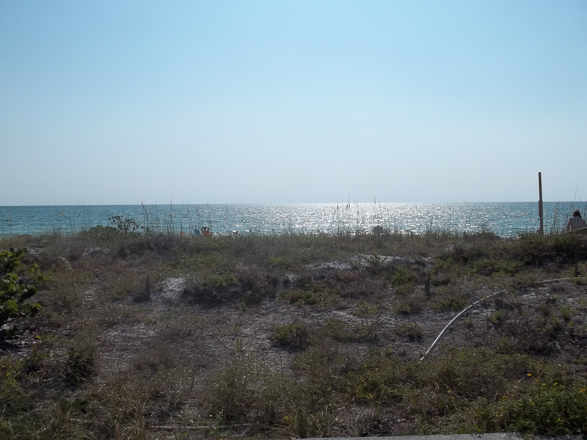
The southern tip of Long Key, below St. Pete Beach, and a designated historic district. Low buildings, a proper small-town grid, a handful of independent restaurants on 8th Avenue, and a beach that faces west for the sunset and south across the pass toward Shell Key.
It feels like Florida before the mid-century rebuild, because largely it is. Parking is metered street parking and small lots, and they fill on weekends.
Fort De Soto Park — the best all-round beach in the region
At the southern tip of the Pinellas peninsula, reached across the Pinellas Bayway. This is the one we would send almost anyone to.
It is the largest park in the Pinellas County system: 1,136 acres across five interconnected keys, with two swimming beaches, a historic coastal fort, seven miles of trails, a campground, boat ramps, fishing piers, kayak launches and a dog beach. Parking is $6 a day.
North Beach is the headline — a curved white beach with a shallow lagoon behind it that is close to ideal for small children. Dr. Beach named Fort De Soto the number one beach in the United States in 2005 and put it back in the top ten in 2024, and TripAdvisor gave it America’s Top Beach in 2009. It also made a national top ten for dog-friendly beaches in 2024.
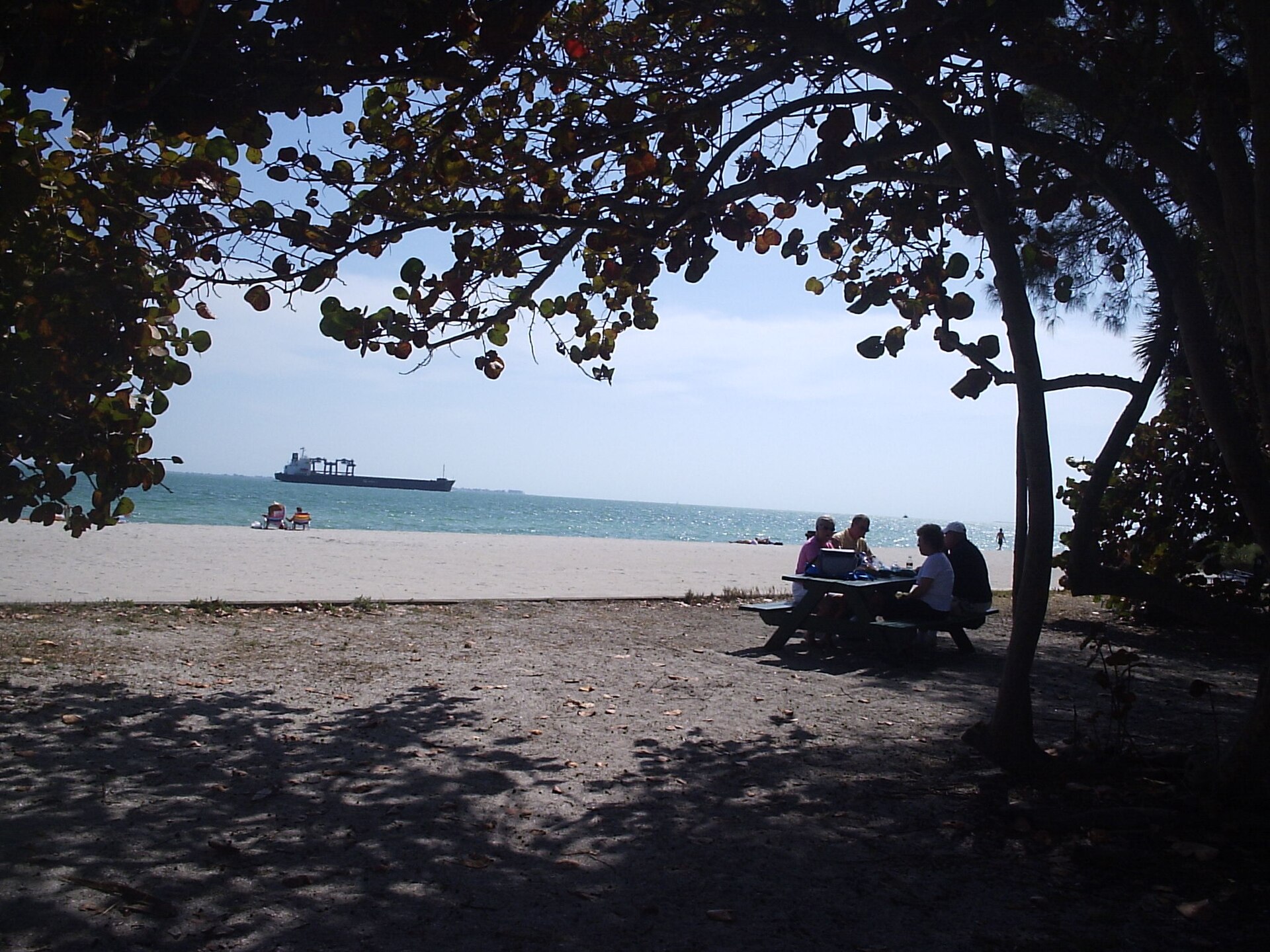
The things that actually make the difference on the day: shade, in the form of mature sea grape and pine along the back of the beach with picnic tables under it; real restrooms; and enough space that the park absorbs its 2.7 million annual visitors without feeling like Clearwater on a Saturday.
It is also a serious birding site — ornithologists have recorded more than 328 species here over sixty years — and loggerhead sea turtles nest between April and September, which shapes how you should behave on the beach in those months. More on that below.
Honeymoon Island State Park — $8, four miles of beach, and a real forest
Off Dunedin at the north end of the chain, reached by causeway, and the only state park beach on this list you can drive to. $8 per vehicle. Open 8am to sunset, 365 days a year.
More than four miles of beach, plus a three-mile trail through one of the last remaining virgin slash pine forests in Florida — genuinely rare habitat, with nesting osprey, bald eagles and great horned owls, and gopher tortoises on the ground. There is a nature center, a pet beach, food service near the ferry dock, and it is a well-known shelling beach.
One important current safety notice. The park states that, effective 9 April 2024, erosion and sand migration have separated the northernmost mile of the sandspit from the main island, forming a temporary cut. It warns of deep water, rapidly changing water depths, unseen underwater hazards and strong currents, and says plainly: do not venture into or through the water in that area. This is not a formality. Barrier islands move, and this one has moved recently.
Caladesi Island State Park — no road, no bridge
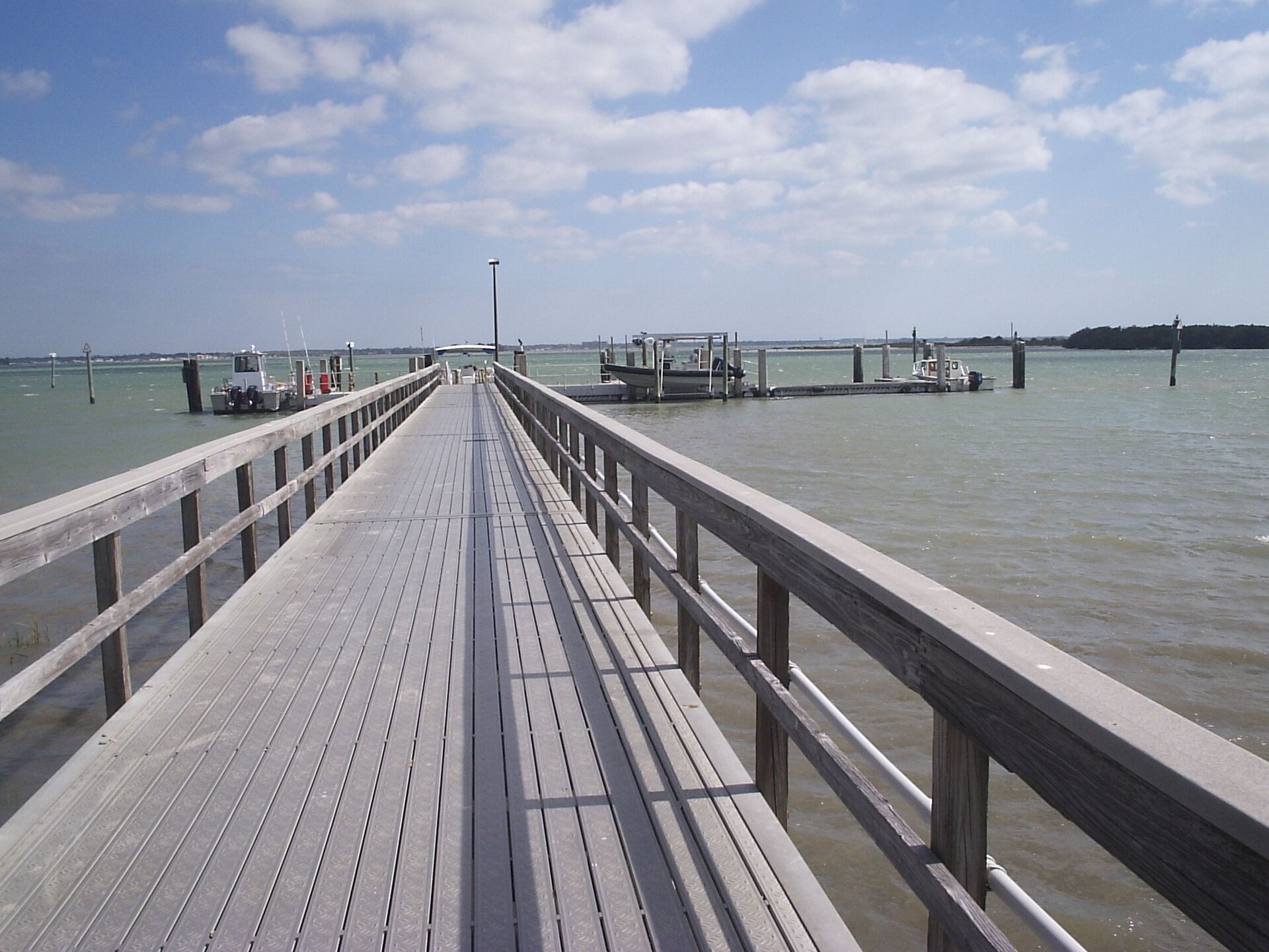
An offshore island north of Clearwater, accessible only by boat, and the closest thing in the region to an undeveloped Gulf beach. The ferry runs from Honeymoon Island. If you arrive in your own boat the park fee is $6 per boat; ferry passengers pay the ferry operator. Open 8am to sunset, 365 days.
What is there: Gulf beach, a mangrove-lined bayside with marked paddling trails, a nature trail through old-growth slash pine and live oak to the historic Scharrer Homestead, restrooms, showers and a concession.
Current status, and this matters: the park states that as of 29 June 2026 it is open for day use and ferry service from Honeymoon Island has resumed, but that limitations remain in effect after Hurricane Helene damage — C-Dock is open with 26 slips plus a T-Dock for a larger vessel, there is no power or water on the dock, overnight marina accommodation is not available, and food service may be temporarily limited. Take your own water and food, and do not plan to stay overnight on a boat.
The practical constraint is the ferry timetable. You are on the island between boats, and the last one leaves well before sunset. Check the schedule before you commit to a day here, and build in the possibility that it is fuller than you expect on a Saturday.
Fred Howard Park — the northern outlier
Near Tarpon Springs at the top of the county, a Pinellas County park at $6 a day, with a mainland picnic area and a causeway out to a small offshore beach island. Shallow, calm, popular with local families, and a long way from Tampa for what it is — but worth knowing about if you are already up around Tarpon Springs.
Anna Maria Island and Siesta Key — honestly, they are a different trip
Anna Maria Island, in Manatee County south of the bay, is a low-rise, old-Florida island with a free trolley running its length and three distinct beach towns. Siesta Key, further south in Sarasota County, has the famously cold-to-the-touch quartz sand that has been named America’s best beach more than once.
Both are excellent. Both are 50 to 62 miles from downtown Tampa, which is 70 to 110 minutes each way depending on the day. Treat them as a day trip in their own right, not as an option for a Tampa beach afternoon — and note that “day trip from Tampa” content lives on its own page elsewhere on this site.
Which beach for which kind of day
| If you are… | Go to | Because |
|---|---|---|
| Short on time, based in Tampa | Ben T. Davis Beach | 20 minutes, bay water, no causeway crawl |
| First-timers who want the postcard | Clearwater Beach | The sand, the facilities, the lifeguards |
| A family with small children | Fort De Soto North Beach | Shallow lagoon, shade, restrooms, $6 parking |
| Trying not to spend money | Fort De Soto or Honeymoon Island | $6 and $8 respectively, versus municipal beach rates |
| After quiet | Caladesi Island | No road to it. That does most of the work |
| After character and a walkable village | Pass-a-Grille | Historic district, low-rise, independent restaurants |
| Bringing a dog | Fort De Soto or Honeymoon Island | Both have designated pet beach areas |
| Shelling | Caladesi or Honeymoon Island | Less foot traffic means shells survive to the morning |
| Birding | Fort De Soto | 328-plus species recorded over sixty years |
| Avoiding a crowd near Clearwater | Sand Key Park | Five minutes south, $6, and a fraction of the people |
Water conditions: the part that actually ruins beach days
Red tide
Red tide is a bloom of the algae Karenia brevis, which occurs naturally in the Gulf of Mexico and can concentrate near shore. When it does, it kills fish — which wash up — and it produces an airborne toxin that causes coughing, sneezing and throat irritation in people on the beach, worse for anyone with asthma or a chronic lung condition.
Three things to understand. It is patchy: one beach can be badly affected while another ten miles away is clear. It changes fast, with the wind and the current, sometimes within a day. And it is monitored and published — the Florida Fish and Wildlife Conservation Commission maintains a current status map by location, and several counties run their own beach condition reporting.
We are not going to tell you whether there is red tide right now, because by the time you read this the answer will have changed. Check the FWC status map for your dates and your specific beach before you drive an hour. That single check is the highest-value thing on this page after the parking fees.
Rip currents
Florida beaches fly a standardized flag system, and it is worth learning before you arrive rather than guessing at it:
- Double red — water closed to the public.
- Single red — high hazard, strong surf or currents.
- Yellow — medium hazard, moderate surf or currents.
- Green — low hazard, calm conditions. Still not a guarantee.
- Purple — dangerous marine life, flown alongside one of the others.
Rip currents are the leading cause of beach rescues in Florida. The Gulf looks calm and frequently is, which is exactly what makes complacency dangerous. Swim near a lifeguard where one is on duty — Clearwater Beach and Fort De Soto have them; most county access points do not.
Jellyfish, sea lice and the rest
Seasonal and localized. Sea lice — actually jellyfish larvae — can cause an itchy rash under swimwear, typically in late spring and early summer. Portuguese man o’ war occasionally wash up, usually after onshore winds, and can sting even when stranded. Beach signage covers current conditions; if the purple flag is up, take it seriously.
Water temperature
The Gulf here is swimmable year-round for most people and genuinely warm from roughly May through October, when it can reach bath-water temperatures. January and February are the cold months, and “cold” here means chilly rather than prohibitive. Bay water at Ben T. Davis warms faster and stays warmer than the Gulf.
Wildlife rules that are not optional
Sea turtle nesting. Fort De Soto states that loggerheads nest there between April and September, and nesting season across Florida’s Gulf beaches runs through roughly the same window into the fall. During it: do not disturb marked nests, fill in any holes you dig before you leave, flatten sandcastles, take all your furniture and equipment off the beach at the end of the day, and keep white lights off the beach at night. Hatchlings orient by the horizon; a hole, a chair or a phone light can kill an entire clutch.
Shorebird nesting. Roped-off sections of beach with posted signs are nesting areas, not suggestions. Black skimmers, least terns and snowy plovers nest directly on open sand, and their nests are almost invisible.
Dunes and sea oats. The dune line is what stops the island washing away, and sea oats are protected by Florida law. Use the marked crossovers rather than cutting through.
Shelling. Collecting empty shells is generally fine; taking live shells, sand dollars or starfish is restricted or prohibited depending on where you are. If it is moving, or if it closes when you touch it, put it back.
Accessibility
The county and state parks are markedly better on this than the municipal beach strips.
Both Fort De Soto and Honeymoon Island list accessible amenities, and Caladesi Island does too. Several beaches in the region provide beach wheelchairs with balloon tires, usually free and usually on a first-come or advance-reservation basis through the park or lifeguard office — call ahead rather than turning up hoping, because the number available is small.
Look also for Mobi-mat style roll-out matting, which gives a firm surface from the parking area across the soft sand. Where it exists it transforms the day; where it does not, soft dry sand is effectively impassable for a standard wheelchair.
Restrooms, showers and paved parking are standard at the county and state parks. At the smaller county beach access points, facilities are minimal and sometimes absent.
When to go
March and April are the peak: warm water, low humidity, and spring break crowds that make the parking situation genuinely difficult. Arrive before 10am or do not bother.
May and June are excellent — warm water, longer days, and the crowds thin out after spring break ends and before the summer holidays fill up.
July and August are hot, humid and stormy, with near-daily afternoon thunderstorms. Morning beach, afternoon indoors, is the local pattern and it works.
September through November can be superb — warm water, thinning crowds — with the significant caveat that this is the back half of hurricane season.
December through February is cool, dry and quiet. The beaches are at their emptiest and the water is at its coldest, which for a northern visitor is often still perfectly swimmable.
On any day: go early. Parking lots at the county parks and the smaller access points fill by mid-morning on weekends and in season, and once Fort De Soto or Honeymoon Island is full, it is full.
Honest notes
- Do not book a Tampa hotel expecting a beach. The nearest Gulf sand is 45 minutes away in good traffic. If the beach is the trip, stay on the beach.
- Siesta Key is not near Tampa. It is 62 miles. It is a great beach and a different holiday.
- Clearwater Beach is not the only good beach. It is the most marketed one. Sand Key is five minutes away, costs $6, and is a fraction as busy.
- Check red tide before you drive. An hour each way to a beach with a fish kill and a cough is a wasted day, and the information is free and published.
- Check the Honeymoon Island sandspit notice. A mile of that island is now separated by a cut with strong currents, and the park says not to go into the water there.
- Caladesi is not a spontaneous trip. It is ferry-dependent, its facilities are still limited after storm damage, and you cannot leave when you like.
- The $6 county parking fee is the bargain of the region. If you take nothing else from this page, take that.
Frequently asked questions
Does Tampa have a beach?
Tampa has bay beaches, not Gulf beaches. Ben T. Davis Beach on the Courtney Campbell Causeway is the main one, about 20 minutes from downtown, with calm shallow Tampa Bay water. For Gulf sand you need to cross to the Pinellas barrier islands, which is 45 to 75 minutes depending on which one and when.
What is the closest beach to Tampa?
Ben T. Davis Beach, about 12 miles and 20 minutes from downtown Tampa on the Courtney Campbell Causeway. The closest Gulf beach is Clearwater Beach, roughly 28 miles and 45 to 70 minutes away.
What is the best beach near Tampa?
For an all-round day, Fort De Soto Park — five islands, two swimming beaches, shade, restrooms, a dog beach, exceptional birding, and $6 parking. It was named the number one beach in the United States by Dr. Beach in 2005 and returned to the top ten in 2024. For the classic wide white beach with full facilities, Clearwater Beach. For quiet, Caladesi Island.
How much does beach parking cost near Tampa?
Pinellas County charges $6 per day at Fort De Soto, Sand Key and Fred Howard parks. Honeymoon Island State Park is $8 per vehicle. Caladesi Island is $6 per boat plus the ferry fare. County beach access sites at Indian Rocks Beach, Indian Shores, Madeira Beach, Redington Shores and St. Pete Beach charge rates that vary by location, and municipal lots at Clearwater Beach and similar are generally the most expensive. Checked September 2026.
Which beach near Tampa is best for families with young children?
Fort De Soto’s North Beach, for the shallow lagoon behind the beach, the shade, the picnic facilities and the restrooms. Ben T. Davis Beach is the best short-drive option for flat calm water. Clearwater Beach works well if you want lifeguards and food within sight.
Can you get to the beaches near Tampa without a car?
It is difficult. There is no rail. Pinellas transit serves the beach communities, and the SunRunner bus rapid transit line connects downtown St. Petersburg with St. Pete Beach, but nothing runs directly from Tampa to the Gulf beaches in a way most visitors will find practical. For a beach day from Tampa, plan on a car or a rideshare and budget for the return leg.
Is there red tide at Tampa beaches?
It varies constantly — by week, by beach and with the wind. The Florida Fish and Wildlife Conservation Commission publishes a current red tide status map by location, and several counties run their own beach condition reports. Check those for your specific dates and beach rather than relying on any article, including this one.
Which beaches near Tampa allow dogs?
Fort De Soto has a designated dog beach and was named among the top ten dog-friendly beaches in America in 2024. Honeymoon Island State Park has a pet beach area. Most municipal Gulf beaches do not allow dogs on the sand — check the specific beach, because the rules differ from town to town along the same island.
How far is Clearwater Beach from Tampa?
Roughly 28 miles from downtown Tampa, typically 45 to 70 minutes by car depending on traffic, across either the Courtney Campbell Causeway or the Howard Frankland Bridge. Clearwater is a separate city on the Pinellas peninsula, and Clearwater Beach is on the barrier island beyond it.
Do I need a boat to get to Caladesi Island?
You need a boat or the ferry — there is no bridge and no road. The ferry runs from Honeymoon Island State Park. Park entry for arriving boats is $6 per boat; ferry passengers pay the ferry operator separately. Note that after Hurricane Helene damage the dock has no power or water, there is no overnight marina, and food service may be limited.
When is sea turtle nesting season on Tampa Bay beaches?
Fort De Soto states that loggerheads nest there between April and September. During nesting season, fill in holes, flatten sandcastles, remove all furniture from the beach at night, leave marked nests alone, and keep white lights off the sand after dark.
Related Tampa Guides
- Best Things to Do in St. Petersburg Florida — the mainland city nearest most of these beaches, and a good rainy-day alternative.
- Tampa International Airport Visitor Guide — the airport publishes its own distances to Clearwater Beach and St. Pete Beach, and the transfer options matter if you are not renting a car.
- Best Things to Do in Tampa — what to do on the days the weather or the red tide map says no.
- Tampa Riverwalk and Downtown Visitor Guide — free, flat, and on the right side of the bay if you are based in Tampa.
- Ybor City Visitor Guide — the historic district, and an easy pairing with a morning beach.
- Cruises from Tampa and Port Tampa Bay Guide — the Skyway you can see from Fort De Soto is what caps the size of every ship sailing from Tampa.
- Best Things to Do in Clearwater Florida — the city versus the island, the city’s own parking lot sizes, and the free Pier 60 sunset.
- Best Time to Visit Tampa — monthly rainfall and water temperatures, and the best months for the beach.
- Tampa Bay Water Activities, Boating and Fishing Guide — licences, wildlife law and the morning-only summer rule.
Sources and verification
Checked in September 2026:
- Pinellas County Parks and Conservation Resources (pinellas.gov) — the $6 per day parking fee at Fort De Soto, Sand Key and Fred Howard parks; the five county beach access sites with parking at Indian Rocks Beach, Indian Shores / Tiki Gardens, Madeira Beach, Redington Shores and St. Pete Beach with rates varying by location; the annual boat ramp and beach parking permit; and mobile app payment. Checked 19 September 2026.
- Fort De Soto Park (pinellas.gov) — 1,136 acres across five interconnected keys, more than 328 bird species recorded over sixty years, loggerhead nesting April to September, average annual attendance of more than 2.7 million, and the Dr. Beach and TripAdvisor rankings including the 2024 top-ten and dog-friendly listings. Checked 19 September 2026.
- Honeymoon Island State Park (floridastateparks.org) — $8 per vehicle, 8am to sunset 365 days a year, four-plus miles of beach, the three-mile virgin slash pine trail, the ferry terminal for Caladesi, and the safety notice effective 9 April 2024 about the separated northernmost mile of sandspit. Checked 19 September 2026.
- Caladesi Island State Park (floridastateparks.org) — $6 per boat, 8am to sunset 365 days, boat-only access, and the notice effective 29 June 2026 covering the resumption of ferry service and the remaining Hurricane Helene limitations on dock power and water, overnight marina accommodation and food service. Checked 19 September 2026.
What we did not verify, and are flagging rather than guessing: current parking rates at Clearwater Beach, Treasure Island and other municipal lots; current City of Tampa parking arrangements at Ben T. Davis Beach, Cypress Point Park and Picnic Island Park; the exact rates at each individual county beach access site; the Caladesi ferry fare and timetable; beach wheelchair availability at specific beaches; and current red tide and surf conditions, which change constantly and should be checked against the Florida Fish and Wildlife Conservation Commission and the National Weather Service for your dates.
Driving distances and times in this guide are approximate estimates from downtown Tampa, not operator-published figures, and real journey times vary enormously with traffic. We have not visited these beaches on your behalf, interviewed anyone, tested any facility or taken original photographs, and nothing here should be read as implying that we did. This is a desk-researched guide built from the county’s and the state park system’s own published information and openly licensed photography, dated so you can judge how current it is.
Photo credits
Sunset on North Beach at Fort De Soto Park: photo by an unidentified contributor, Public domain, via Wikimedia Commons.
Shaded picnic area at Fort De Soto Park: photo by Philipp Michel Reichold, CC BY-SA 2.5, via Wikimedia Commons.
Dunes and Gulf at Pass-a-Grille: photo by Ebyabe, CC BY-SA 3.0, via Wikimedia Commons.
The Caladesi Island ferry dock: photo by an unidentified contributor, CC BY-SA 2.5, via Wikimedia Commons.